 |
|
|
|
|
|
|
|
Local Events | |
|
|
Garage Sales (New!) | |
|
|
Best Happy Hours | |
|
|
City News & Links | |
|
|
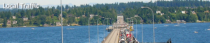
Local Traffic Maps | |
|
|
Bellevue Traffic Map | |
|
|
Seattle Traffic Map | |
|
|
Tacoma Traffic Map | |
|
|
Local Weather | |

| Tacoma Traffic Cameras & Flow Map |
|
|||||||||||||
|
||||||||||||||
|
|
||||||||||||||

| top |
|
|
|
||||||||||